The Friends of Mary Cummings Park
The website for the Friends of Mary Cummings Park, the 501c(3) non-profit that works to protect and enhance the magnificent property left by Mary Cummings in 1930 “…to be forever open as a public pleasure ground."

Mary Cummings Park - The Trustees
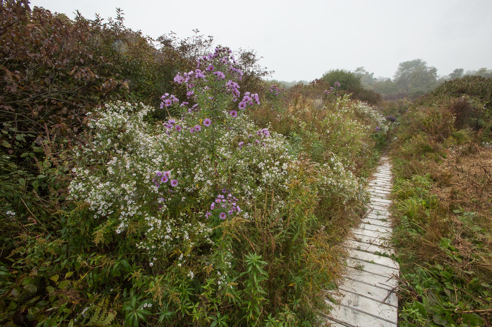
216-acre park with woodland trails, open fields and wildflower meadows, and bridges and boardwalks allowing views to swamps and marshland.
The Landlocked Forest
Celebrate the peacefulness and beauty of the walking and bike trails in the Burlington Landlocked Forest.
Burlington Conservation Commisson
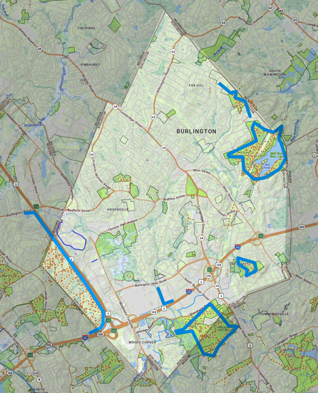
The Burlington Conservation Commission is responsible for the management and protection of over 250 acres of permanently protected areas of natural open space.
Burlington Conservation Areas
A listing of the open space and conservation areas in Burlington