North Andover Recreation
The protection of open space in North Andover ensures the preservation of the town’s heritage, scenic landscapes, and critical natural resources.

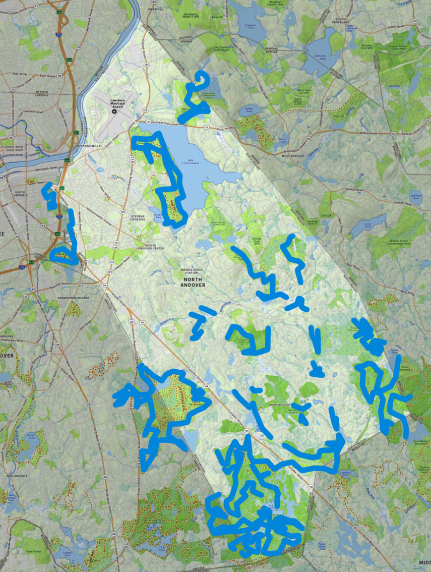
North Andover Trails
The Friends of North Andover Trails invite you to come discover the beauty and the history that await you on the trails of our town. Click the map or links below to explore 18 of our favorite destinations.

Andover Conservation Commission
The Andover Conservation Commission is proud to have helped protect over 2,100 acres of land across Andover.