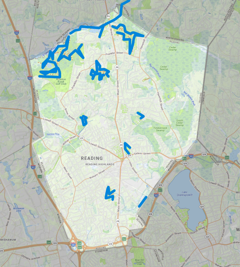
to create a vibrant network of connected open spaces between the Merrimack Valley and Mystic River watershed into Boston.

YOUR TOWN’S EXISTING TRAILS

reading

If we have missed any links to open space or trails websites in your community please use the contact form to let us know.

Reading

Here is short intro text about Reading in the context of Mystic Link. 

Existing trails that could be integrated into The Mystic Link, or act as side trails to it, are shown in blue.

Here is a link to the Massachusetts State GIS Map from which this map was derived: MASS GIS MAP

Below is a Google map of Reading that you can also explore.

reading ma

Reading Trail Maps

The maps and apps shown were created by the Town of Reading GIS division.

reading ma

Reading Conservation Department

The Conservation Commission protects and manages Reading’s wetlands and conservation lands. The commission issues permits for projects that follow state and local wetland regulations.

reading ma

Reading Open Land Trust

The Reading Open Land Trust, Inc. (ROLT) was founded in 1979 by a group of private citizens motivated by the conviction that conservation of our natural resources must be a concern for all citizens and not solely dependent on government action and tax revenues.