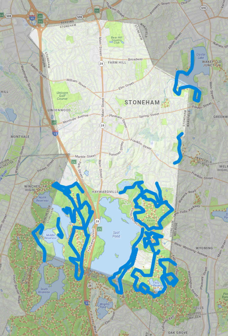
Here is short intro text about Stoneham in the context of Mystic Link.
Approximate existing trails that could be integrated into The Mystic Link, or act as side trails to it, are shown in blue.
Here is a link to the Massachusetts State GIS Map from which this map was derived: MASS GIS MAP
Below is a Google map of Stoneham that you can also explore.

Somerville Walking Routes
Friends of the Tri-Community Greenway - Stoneham, Woburn, Winchester

Stoneham Dept of Open Space and Recration
The Stoneham Department of Open Space and Recreation

The Middlesex Fells
At Middlesex Fells, you can hike, bike, fish, or let your dog run free in the off-leash area. Rent a canoe or kayak to explore Spot Pond.

The Spot Pond Loop
10 Mile loop around spot pond.

