to create a vibrant network of connected open spaces between the Merrimack Valley and Mystic River watershed into Boston.

YOUR TOWN’S EXISTING TRAILS

winchester

If we have missed any links to open space or trails websites in your community please use the contact form to let us know.

Winchester

Here is short intro text about Winchester in the context of Mystic Link. 

Approximate existing trails that could be integrated into The Mystic Link, or act as side trails to it, are shown in blue.

Here is a link to the Massachusetts State GIS Map from which this map was derived: MASS GIS MAP

Below is a Google map of Winchester that you can also explore.

Tri Community Greenway

Tri-Community Greenway

Friends of the Tri-Community Greenway - Stoneham, Woburn, Winchester

Winchester Walk and Bicycle

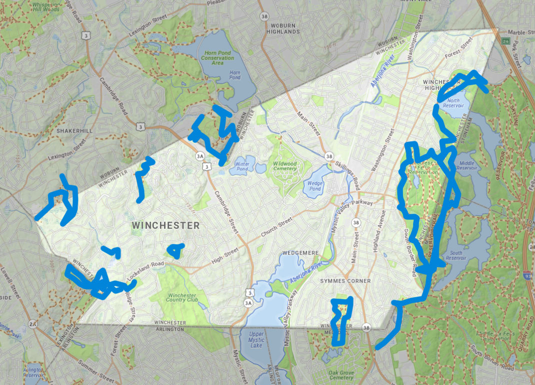
Winchester is a fairly compact community - about 4.5 miles at its widest point. Most destinations are within 2-3 miles of each other. The Town maintains approximately 90 miles of public ways, as shown in our map.

Winchester Conservation Commission

Winchester Conservation Commission

The commission has responsibility for the preservation of open space and implementation of the Massachusetts Wetlands Protection Act and the Winchester Wetlands Bylaw.