to create a vibrant network of connected open spaces between the Merrimack Valley and Mystic River watershed into Boston.

YOUR TOWN’S EXISTING TRAILS

woburn

If we have missed any links to open space or trails websites in your community please use the contact form to let us know.

Woburn

Here is short intro text about Woburn in the context of Mystic Link. 

Approximate existing trails that could be integrated into The Mystic Link, or act as side trails to it, are shown in blue.

Here is a link to the Massachusetts State GIS Map from which this map was derived: MASS GIS MAP

Below is a Google map of Woburn that you can also explore.

mary-cummings-park

Mary Cummings Park and Whispering Hill

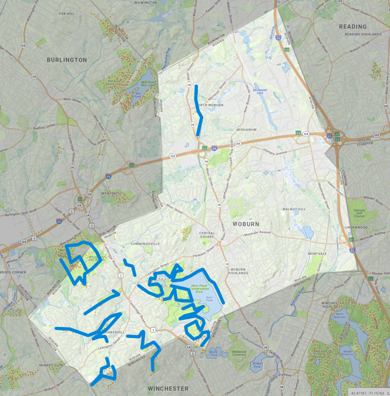
Part of Mary Cummings Park and all of Whispering Hill are in Woburn

Wobun Residents Environmental Network

WREN

Woburn Residents Environmental Network

Tri Community Greenway

Tri Community Greenway

Tri Community Greenway for Stoneham, Winchester, Woburn